
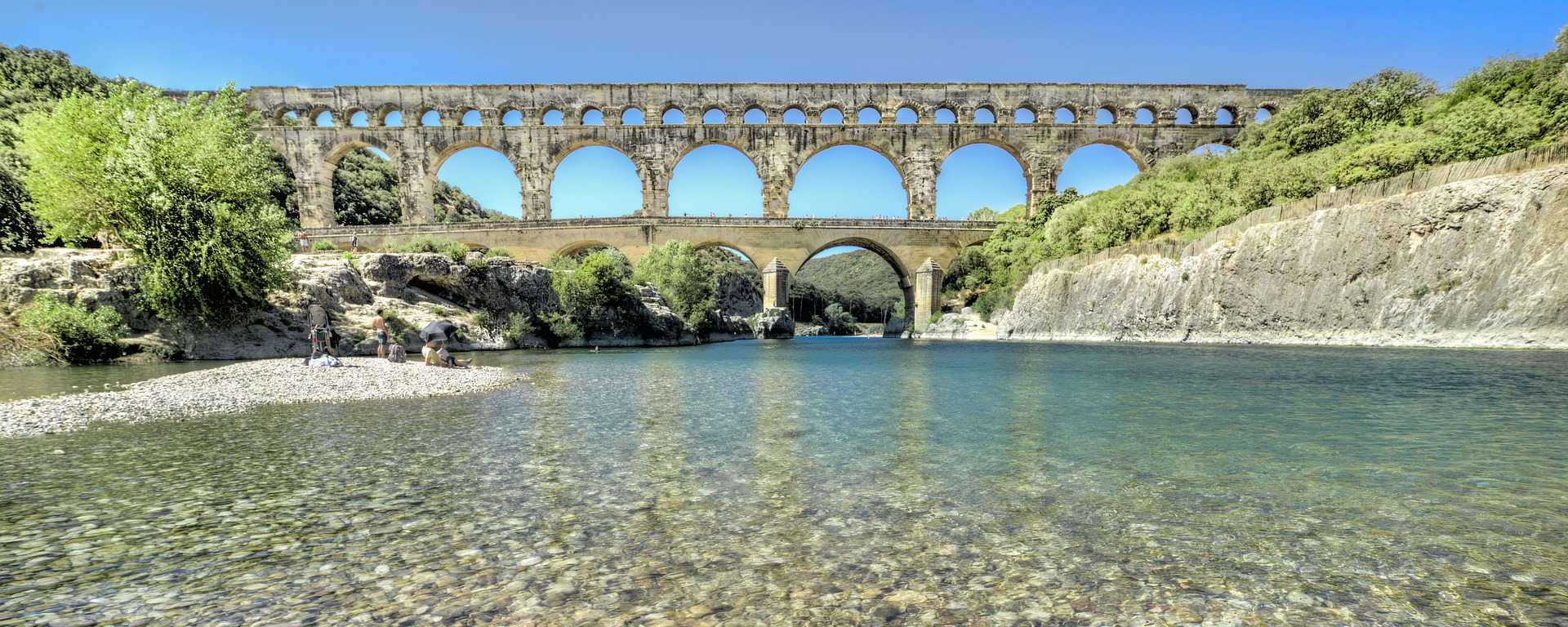
The Gard department is situated in the Occitanie region in the south of France, on the right bank of the River Rhône. It is crossed in the south by the river of the same name, also known locally as the Gardon. A geographical overview, statistics and useful links for the Gard.

The Gard department
Originating from the northern part of the Languedoc region, the department was established in 1790 during the French Revolution.
Since 2016, the Gard has been part of the Occitanie region, which was formed from the merger of two neighbouring entities; the department had previously been part of Languedoc-Roussillon.
The territory
Covering an area of5,853 km²witha population of 742,006(2016, the people of the Gard) and a population density of 127 inhabitants per km², the Gard stretches to the west of theRhône valley, in the foothills of the Massif Central, with Mont-Aigoual at 1,567 metres as the highest peak in the Cévennes, stretching as far as the Mediterranean beaches of Le Grau-du-Roi and the Camargue.
The department comprises 14 inter-municipal bodies (3 urban areas, 11 communities of municipalities) and 351 municipalities, the main towns being:
Nîmes ( Prefecture), Alès ( Sub-prefecture), Bagnols-sur-Cèze, Beaucaire, Saint-Gilles, Villeneuve-lès-Avignon, Vauvert, Pont-Saint-Esprit, Marguerittes, Les Angles, Le Grau-du-Roi, Uzès, Aigues-Mortes.

Transport in the Gard
Buses and coaches, trains, the road network, cycle routes…Transport optionsin the department:

Mapping
- Map of the Gard department (30):
IGN maps
Hiking maps, road maps or guidebooks about the department:
Where can you stay in the department?
Hotels and accommodation in the department, with comparisons and online booking:
- Nîmes, Alès, Bagnols, Beaucaire, Villeneuve-lès-Avignon, Grau-du-Roi, Uzès, Aigues-Mortes
- Where to stay in the Gard?
Links & Gard
Articles and pages relating to the department: