
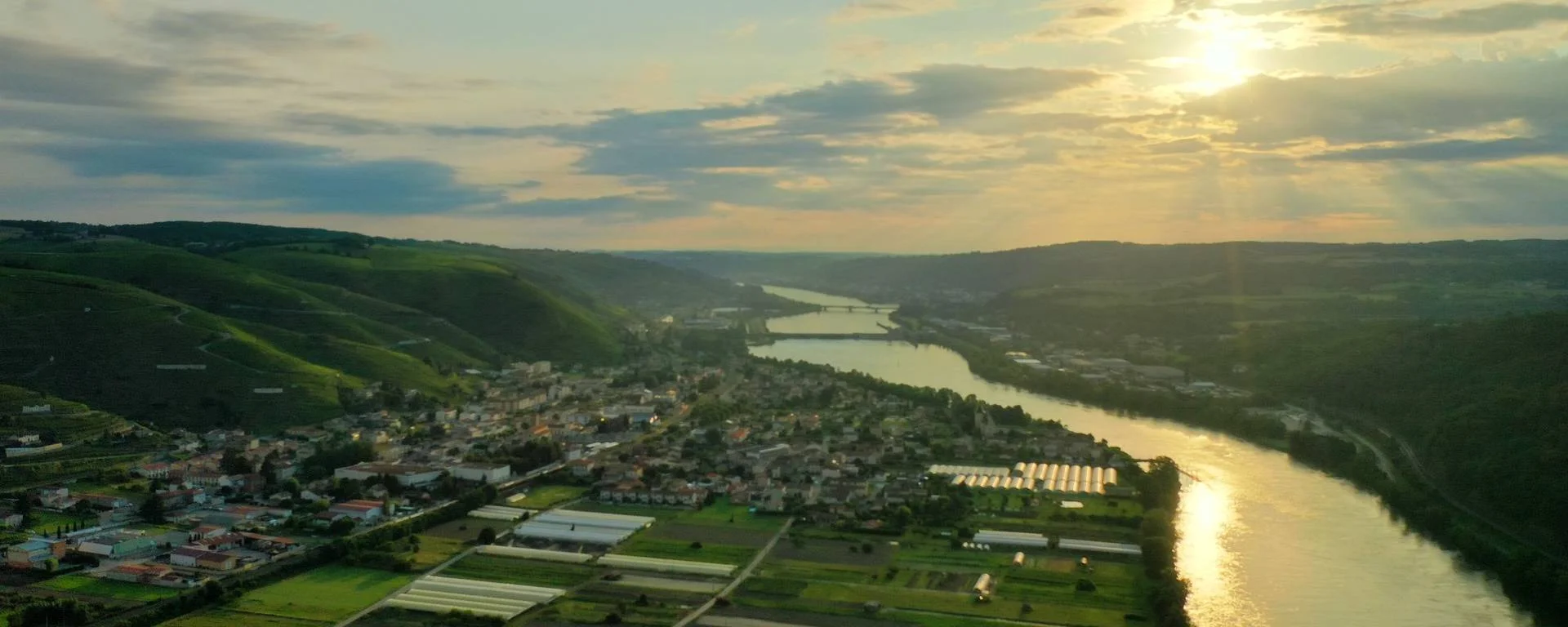
Following an overview of how the flood warning system works in France, here are the direct links to information by region and river catchment area in France: flood warnings by river section, flow rates by monitoring station, river conditions, RSS feed subscriptions, and static or dynamic maps.

Flood watch and current situation
Vigicrues is the national reference information service on flood risks along France’s major rivers, both in mainland France and in the overseas territories.
- Flood Watch: Flood monitoring and forecasting in France
Organised by region and catchment area, here are the regional maps showing local information on the condition of rivers and streams and their flow rates. Click on the map of your chosen region to go directly to the information on the official Vigicrues website in France.

The Vigicrues interface: user guide and key
Each river basin is divided into sections, for each of which you can view one or more pieces of information via the ‘flood alert status’ menu:
View on map, Name (section and stations), Alert level (flood status), RSS (news feed).

- View on the map: locate the section directly on the map to check its geographical position

- Name: allows you to identify the relevant sector and the list of stations.

From the drop-down menu marked with a +, you can view the list of stations and access the latest available information: station, observation, flood-prone area, and graphs showing water levels, flow rates and historical flood data.

On each line of the routes, you can sign up for email alerts (bell icon).
- Vigilance enables you to quickly identify the flood risk status using a colour-coded system.

- RSS: to subscribe to the site’s Really Simple Syndication feed. If you’re not familiar with how it works, the easiest way is to sign up by email (you’ll need to create a free account).
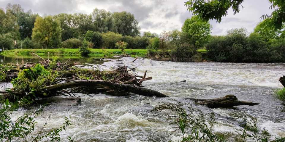
Flood alerts in France by region
To view and monitor the situation by flood alert zone across France’s regions, organised by catchment area, here is the list and a direct link to each region’s page on the Vigicrues website.
Adour and Garonne Flood Warning System
In south-western France, with the Atlantic Ocean as its estuary, two maps covering theAdour catchment area as far as Bayonne and the Garonne catchment area as far as the Bordeaux and Médoc regions.
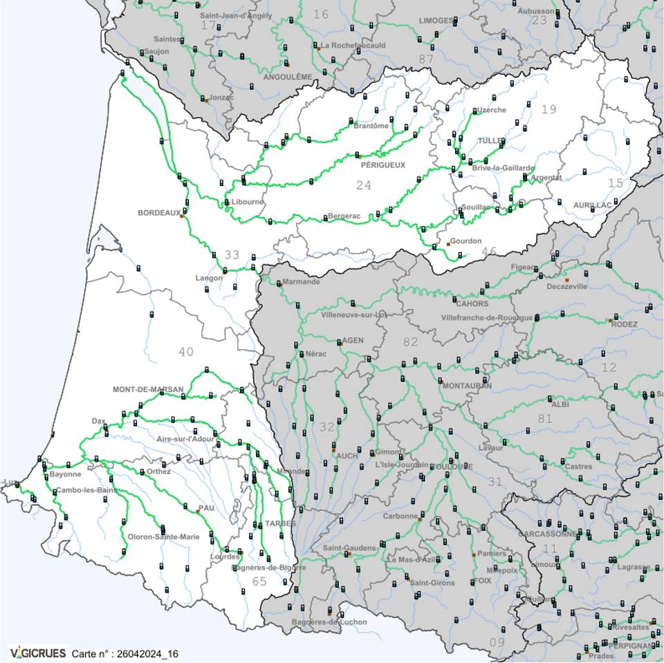
The Adour, Gironde and Dordogne river basins
From the Massif Central to the Atlantic, between Aurillac, Périgueux, Bordeaux and Mont-de-Marsan, lie the catchment areas of the Adour and Garonne rivers (downstream), the River Dordogne and the watercourses of the Gironde:
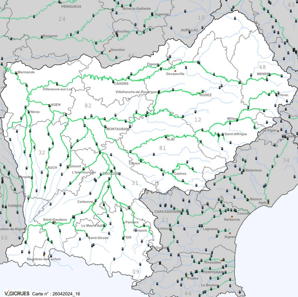
The Garonne, Tarn and Lot river basins
From the Massif Central to the Pyrenees, here is a list of all the tributaries of the Garonne in its upper reaches as far as Marmande:
Loire and Brittany Flood Warning System
This area covers the Loire and Vilaine river basins and the rivers of Brittany in central-western France.
Vilaine–Breton Coast
Lower Maine-et-Loire
The catchment area of the River Maine and the River Loire, flowing downstream towards the Atlantic Ocean, from Alençon to Angers, and from Laval to Nantes.
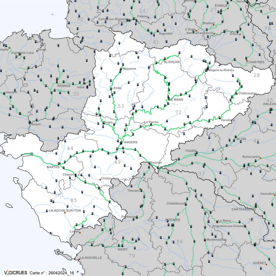
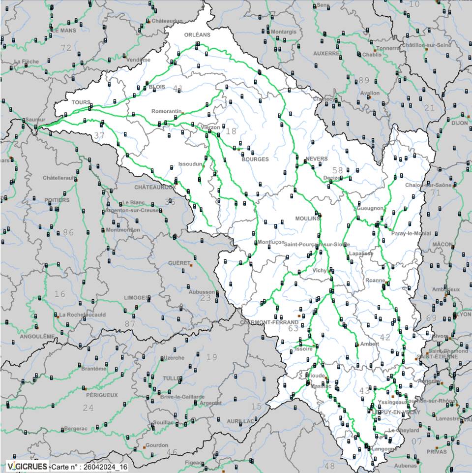
Loire, Allier, Cher and Indre
The Loire river basin as far as Tours and east of Saumur, including the tributaries of the Allier, the Cher and the Indre:
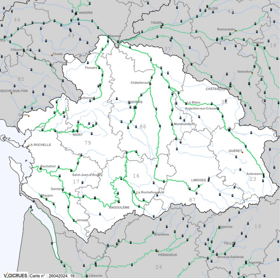
Vienne and Charente–Atlantique
The catchment area of the Vienne River (a tributary of the Loire), the Sèvre Nortiaise and the watercourses south of Saumur as far as Guéret, Limoges, Angoulême, La Rochelle and Niort:
Flood Alert for the North-East Seine
This section covers the rivers of northern France, from Normandy to the German border, passing through the Paris region.
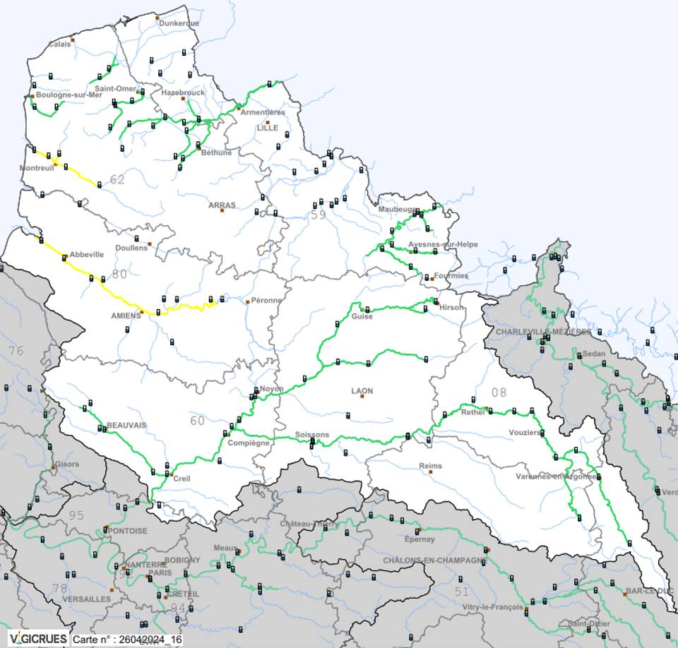
Northern Basins
This area in northern France encompasses the RiverOise and its tributaries flowing into the River Seine, as well as the River Sambre flowing into the River Meuse, from Dunkirk and Calais to Beauvais, Laon and Varennes-en-Argonne:
Meuse and Moselle
This area encompasses the River Meuse and its tributaries, as well as those of the River Moselle flowing towards the Rhine, from Charlevilles-Mézières to Epinal via Verdun, Nancy and Metz:
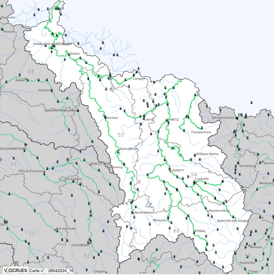
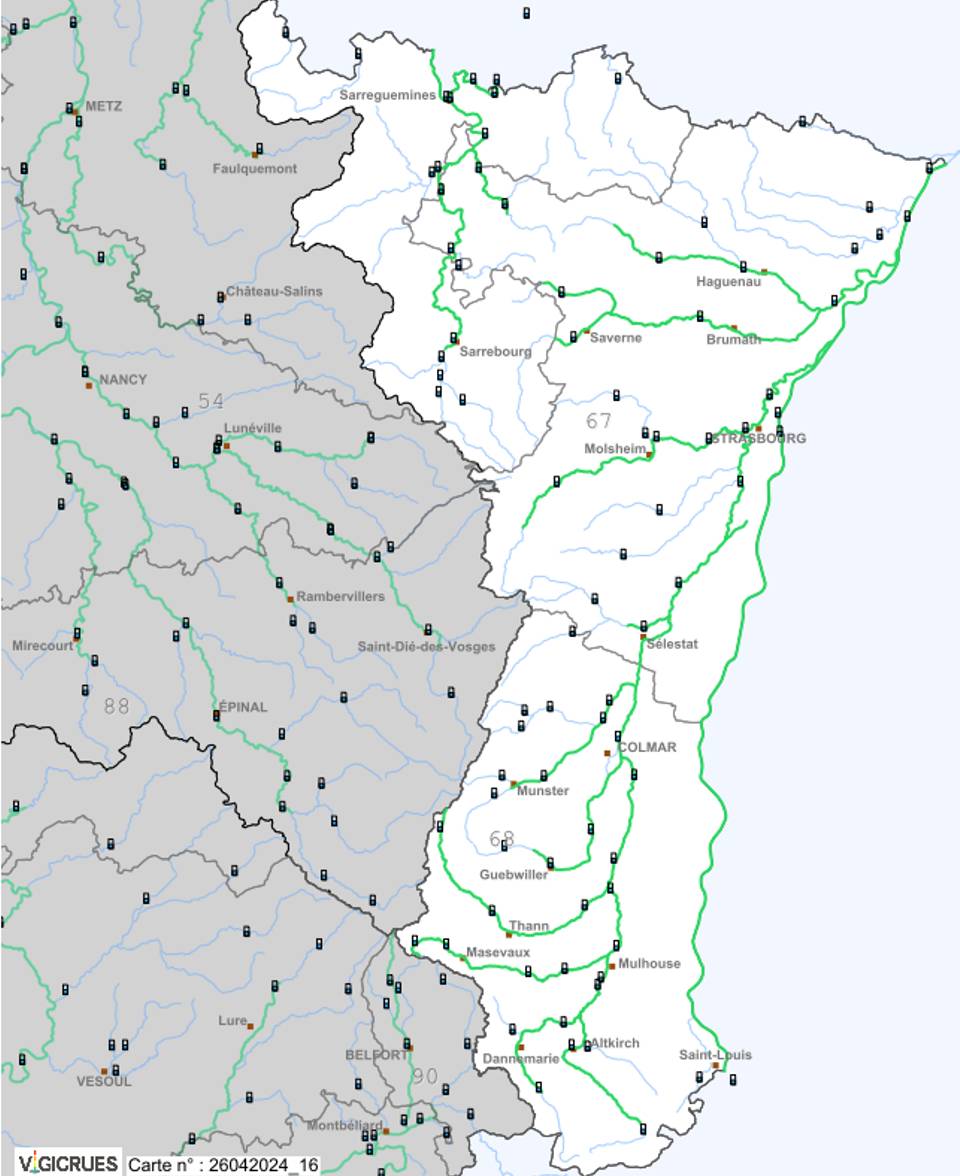
Rhine and Saar
This section covers the River Rhine and its tributaries, as well as the River Saar as it flows towards the River Moselle, from Sarreguemines to Altkirch via Strasbourg:
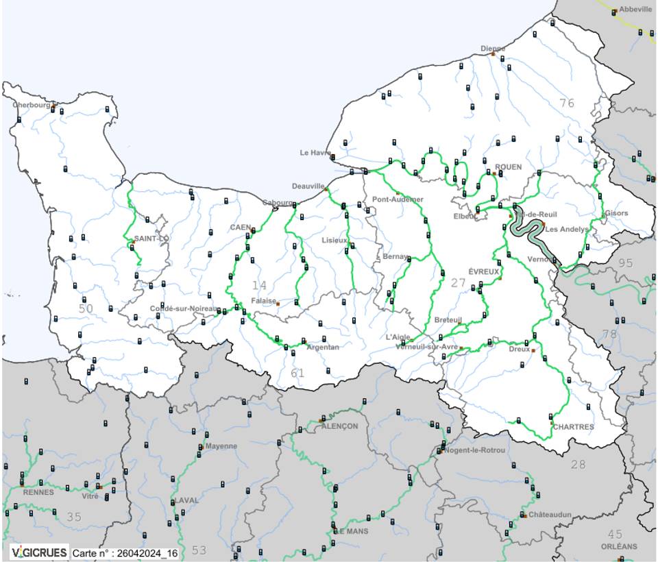
The Seine and the Normandy coast
Here, these are the coastal waterways of Normandy and the lower reaches of the Seine, from Dieppe to Cherbourg, and from Argentan to Gisors via Chartres and Evreux:
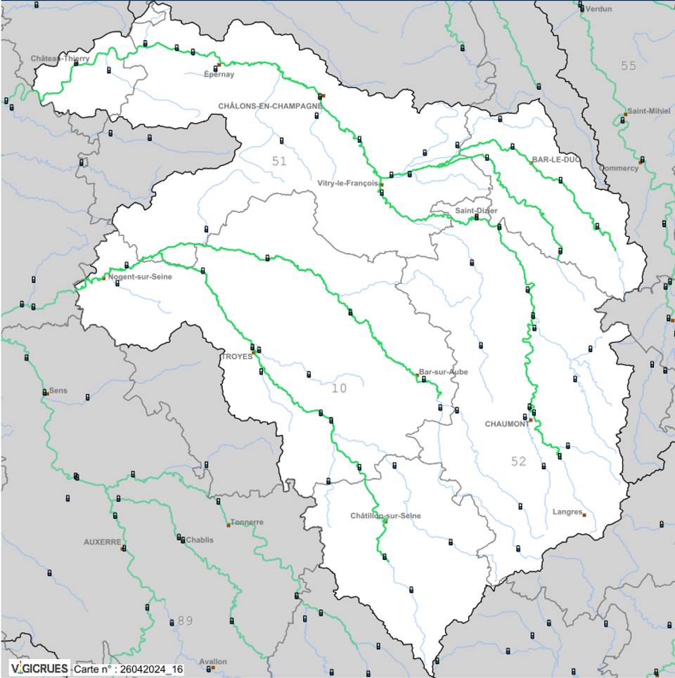
Upper Seine-et-Marne
The tributaries of the Seine and the upper reaches of the River Marne, from Épernay to Langres, and from Nogent-sur-Seine to Bard-le-Duc:
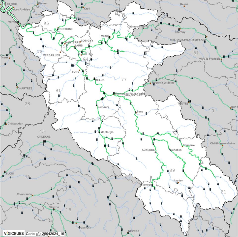
Seine, Yonne and Loing
The Seine before and after Paris, including its tributaries,the Yonne and the Loing, from Pontoise to Auxerre and Avallon, and from Versailles to Melun and Sens:
Rhône and Mediterranean Flood Warning System
The final section on watercourses in mainland France covers the River Rhône and its tributaries, as well as the Mediterranean coastline, including Corsica.
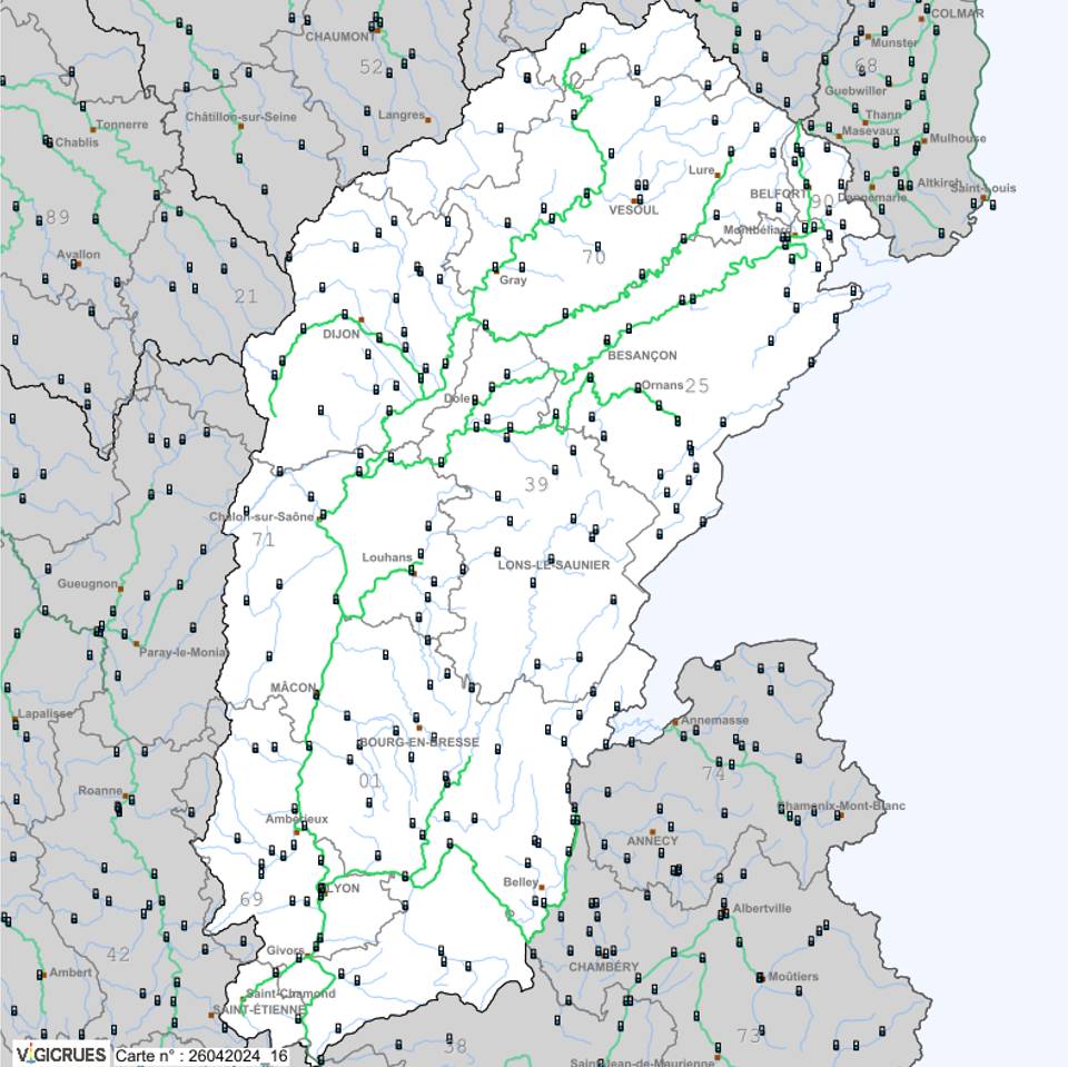
The Rhône and the upper Saône
The upper catchment area of the River Rhône and the River Saône, including their tributaries from the Territoire de Belfort as far as Lyon and Saint-Étienne:
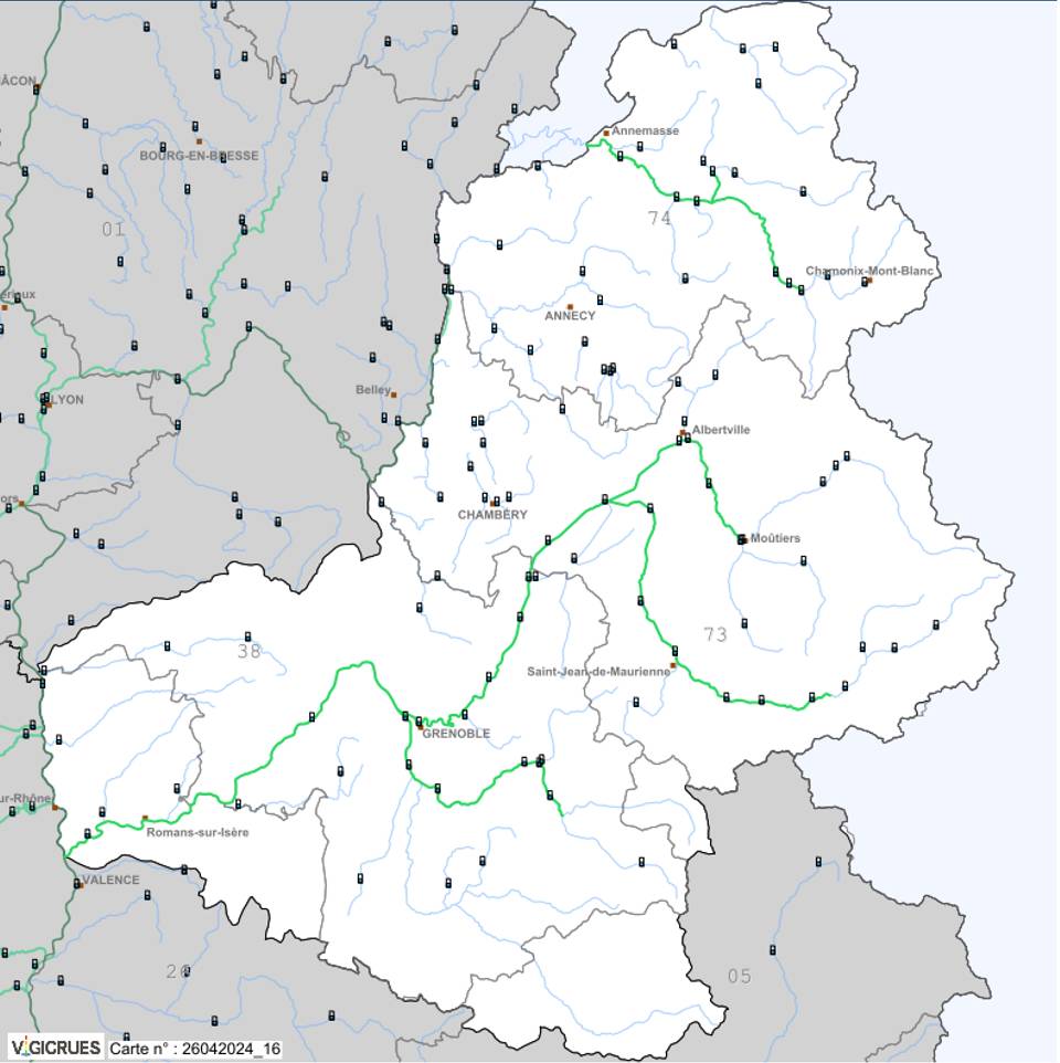
Northern Alps
The catchment area of the Northern Alps, stretching from Lake Geneva to the south of Grenoble, via Chambéry, Albertville and Mont Blanc:
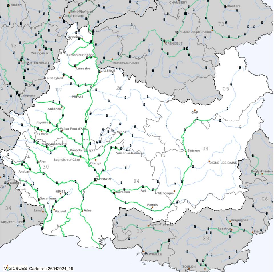
The Great Rhône Delta
From the Vivarais to the Camargue and the Hautes-Alpes, this catchment area covers the lower Rhône as far as its confluence with the Mediterranean, from Gap to the Alpilles, fromthe Ardèche, from Anduze to Dignes-les-Bains:
Western Mediterranean
In the Languedoc-Roussillon region and the southern Cévennes, this area stretches out towards the Mediterranean from the south-western foothills of the Massif Central, from Montpellier to Carcassonne, from Le Vigan to Perpignan and the Spanish border:

Eastern Mediterranean
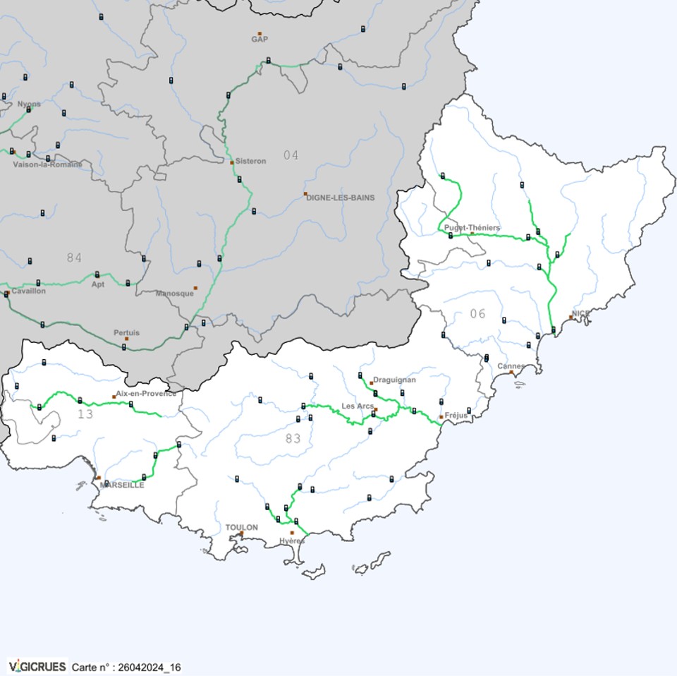
From the Bouches-du-Rhône to Italy, this is the western flank of the Mediterranean coast, stretching from Nice to Marseille and from Toulon to the Alpes-Maritimes.
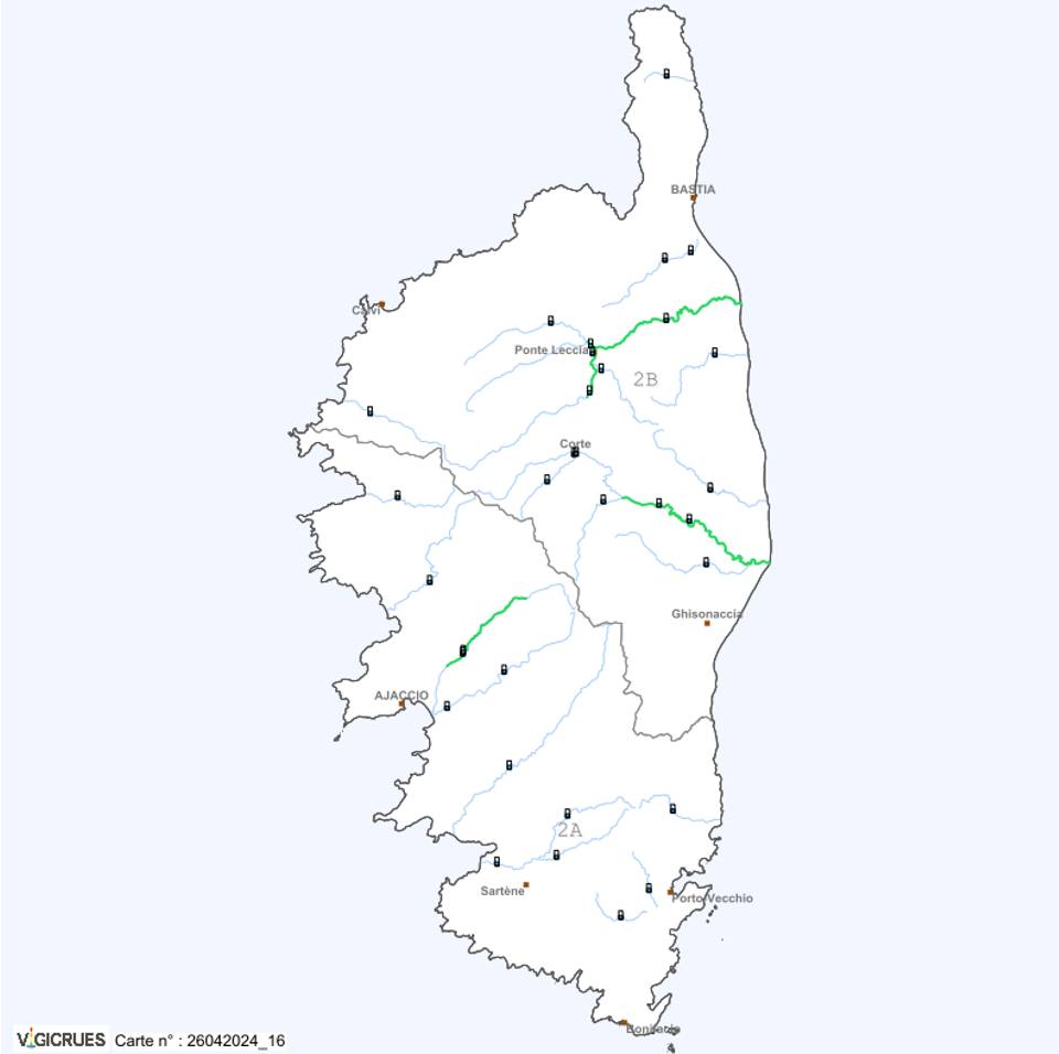
Corsica
And to round off our tour of mainland France in style, here is the nearby island of Corsica and its rivers:
Flood Watch in the Overseas Territories
Forthe Overseas Territories, here is direct access to each territory, wherever they may be in the world.
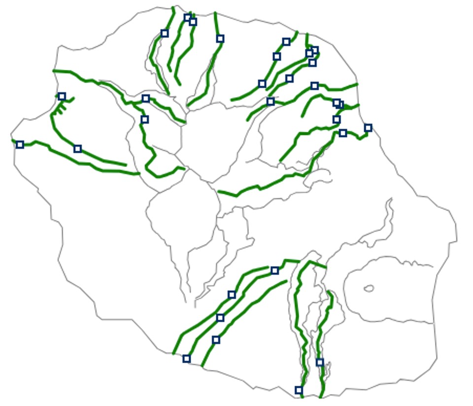
Reunion Island
Off to the Indian Ocean, off the coast of Madagascar, toRéunion:
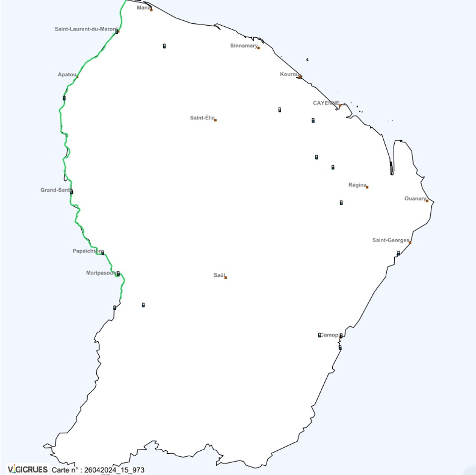
French Guiana
And in South America, a river to follow that runs along the border between French Guiana and Suriname: the Maroni river basin:
For the following overseas territories, the tool has not yet been implemented at the time of publication of this page:
Travel+
- Interactive map of rising sea levels
- Map of global warming by region
- Forest weather and fire risk in France (French)
- Going back in time with photos and maps, IGN (French)
- Vigicrues, risks and flooding (French)
- Environment, pages and articles